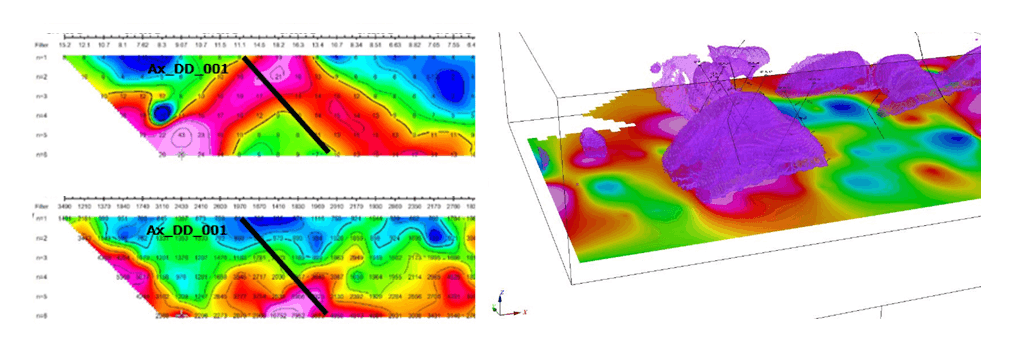
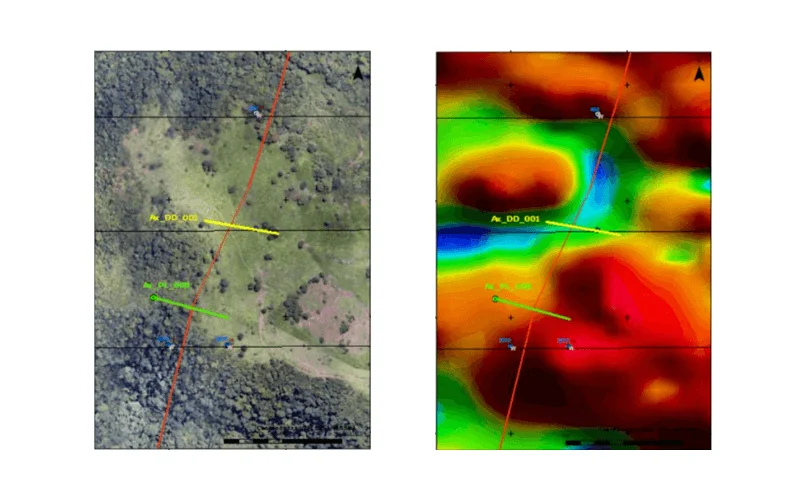
Axía Mineração made significant progress in geophysical surveys, acquiring topography, photography, videography and magnetometry data via drone technology

The IP data includes 2D sections of chargeability and resistivity, along with 3D inversion models.

Correlating existing and recent data, researchers reinterpreted findings, producing interpretive maps highlighting potential targets for on-site investigation.
Lorem ipsum dolor sit amet, consectetur adipiscing elit. Ut elit tellus, luctus nec ullamcorper mattis, pulvinar dapibus leo.
Lorem ipsum dolor sit amet, consectetur adipiscing elit. Ut elit tellus, luctus nec ullamcorper mattis, pulvinar dapibus leo.

