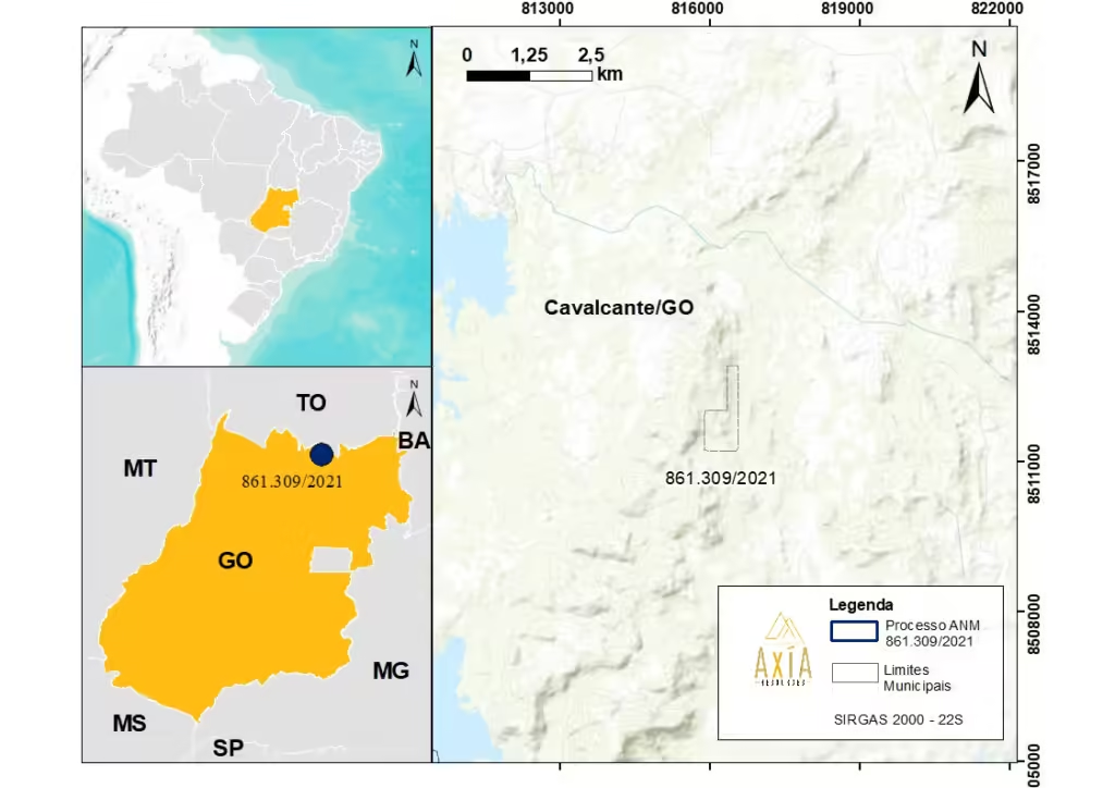
Total area of 71.89 hectares in the north of Goiás, municipality of Cavalcante.
History of the Region:
The municipality of Cavalcante emerged at the same time as the state of Goiás, around 1736, during the exploration of Bartolomeu Bueno da Silva (O Anhanguera), in search of new mines, he arrived in the region of the Tocantins River and decided to explore the region, where he discovered a large quantity of gold and founded the Captaincy of Goiás (IBGE, 2024).
Shortly after this discovery, several incursions by people from various places occurred in search of the gold mines on the banks of the Lava Pés stream. The first recorded incursion occurred in 1736, led by the prospector Julião Cavalcante and his companions (IBGE, 2024).
To this day, due to its geological complexity and history of gold prospecting, the area attracts research interest from several mining companies (IBGE, 2024).
Research Objective:
Mineral occurrences in the area, with a focus on gold.
Results and Continuity Plan:
Targets of interest defined for gold, which may be related to the Maranhão River fault.
Partial Research Report filed with the National Mining Agency.
Continuation of detailed geological mapping, sampling, rotary drilling and geochemical analyses, and technical and economic feasibility studies.
Project location
WORK CARRIED OUT IN THE AREA BY AXÍA MINERAÇÃO:
The mineral research program developed by Axía Mineração S.A., over the three years of validity of the license, included:
Trabalhos Realizados
Descrição
Área Mapeada
71,89 ha
Amostras de geoquímica de rocha, sedimento de corrente e concentrado de batéia
56 amostras analisadas
Geoprocessamento e interpretação geofísica de dados regionais (magnetometria e gamaespectrometria)